Stata Maps
I recently put together a maptile geography to incorporate the NPR hex tile map for state maps to be used in Michael Stepner’s excellent Stata maptile ado program (which is a wrapper for spmap). It should be up soon on Michael’s website, but you can grab it here for now.
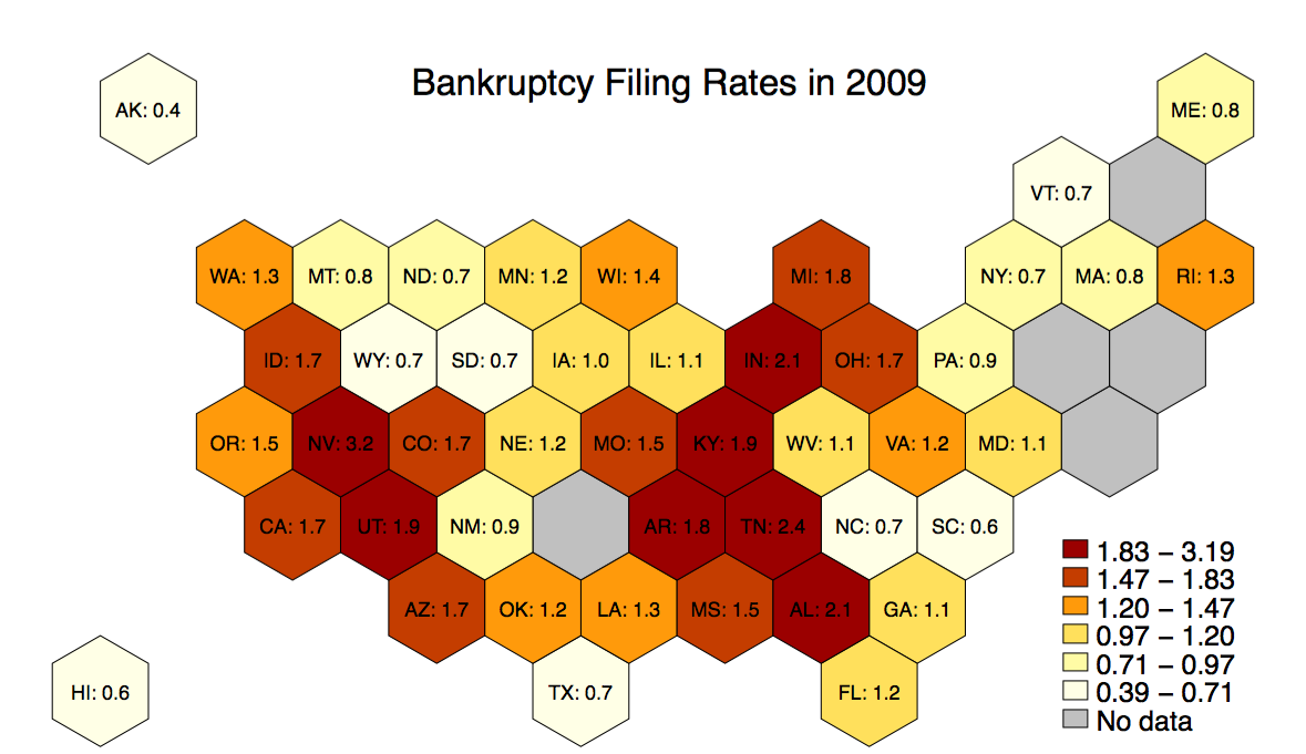
These maps can be useful for two reasons: first, they prevent readers from overweighting unpopulated geographic areas and misinterepreting your results; second, they will make it easier for readers to see your variation in New England, since states will be better broken out.
Below is an example using 2009 bankruptcy filing rates with the following line:
maptile frac_bk, geo(statehex) labelhex(statename_plus_percentage)

